
Explore Canada’s Overlooked Trails and Waterways with Local Wisdom
Set out with a crowdsourced movement connecting curious travelers to experienced local guides who reveal overlooked Canadian hiking and paddling routes hidden between familiar icons on the map. Expect candid planning help, nuanced safety context, up-to-date conditions, and stories rooted in place. From misty portage chains and kettle-lake corridors to quiet ridge traverses above endless spruce, discover routes that reward patience and respect. Participate, learn, and give back so these landscapes stay wild while local knowledge keepers are heard, credited, and fairly supported.
Community Mapping That Illuminates the Quiet Lines on the Map
Crowdsourced route discovery thrives when local guides and visiting explorers work together, transforming scattered notes into trustworthy itineraries that honor terrain, culture, and wildlife. Through careful verification, layered maps, and respectful storytelling, small footprints find big horizons. Share what you discover, credit those who teach you, and help keep sensitive places resilient by sharing responsibly, traveling gently, and elevating knowledge that might otherwise be drowned out by louder, less precise narratives.
From Kettle Lakes to Jack Pine Ridges
Subtle corridors in Northern Ontario and Manitoba stitch together kettle lakes, esker spines, and jack pine ridges that rarely appear in glossy guides. Local paddlers and hikers describe faint portages, fish camps, and wind patterns that matter when storms rise. Their insights convert ambiguous satellite lines into safe, rewarding travel days that unfold without crowds, amplifying stillness, loons, and the quiet cadence of patient navigation.
Interior Connectors of British Columbia
Beyond famous circuits, lesser-known connectors link logging spurs to alpine meadows and hidden tarns across the interior. Local guides explain seasonal snow bridges, creek crossings, and micro-route choices that bypass alder hells and avalanche runouts. Community maps layer slope angle, water sources, and historical tracks, letting determined travelers stitch custom traverses that respect closures, avoid wildlife corridors during sensitive periods, and return with accurate condition updates for those who follow.
Saltwater Edges of the Maritimes
Quiet estuaries and marsh channels in Nova Scotia and New Brunswick demand an understanding of tides, winds, and eelgrass flats. Local paddlers chart safe windows, discreet launch spots, and short land carries between sheltered creeks. Crowdsourced notes flag bird nesting zones and shifting sandbars while steering travelers toward respectful timing and community-supported amenities. The result is a string of serene dawn sorties that feel adventurous yet grounded in hard-won, place-based seamanship.
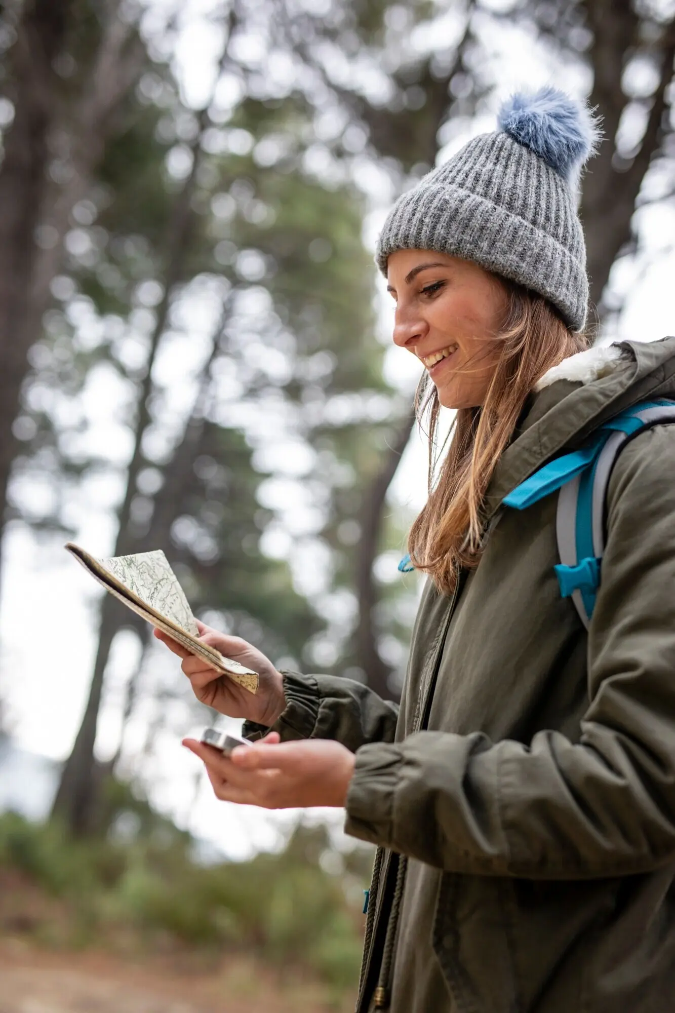
Working With Local Guides You Can Trust
Connection thrives on transparency, fair pay, and safety clarity. Profiles highlight training, land acknowledgments, and community endorsements. Messaging tools let you align goals, comfort levels, and logistics, while trip plans keep everyone aligned when weather shifts. Reviews focus on actionable details rather than hype. By centering trust and reciprocity, adventures feel less transactional and more like mentorship that carries lessons forward long after the last paddle drip or boot print fades.
Signals That Build Confidence
Look for verifications that actually mean something: relevant first-aid credentials, swiftwater and avalanche certifications, conservation projects, and endorsements from local clubs or Indigenous guardians. Read trip reports for nuance about decision-making, not just big views. When guides explain why a choice was made, you learn judgment, not just waypoints. Confidence grows from consistent communication, mutually understood boundaries, and posted safety practices that are easy to follow and clearly updated before departure.
Shared Safety Plans
Good plans anticipate surprises: high water, early snow, lingering ice, wildfire smoke, or intense bug hatches that change pacing. Collaborate on evacuation routes, turnaround times, and communication redundancies. Share emergency contacts, satellite device protocols, and rescue landmarks like bridges, ranger cabins, or hydro lines. When everyone understands the plan, small misadventures stay small. Afterward, upload debrief notes so the next group inherits lessons, refining the community’s collective resilience with every outing.
Features That Turn Curiosity into Confident Itineraries
Purpose-built tools stitch together fragments into clear plans: layered maps, GPX downloads, offline caches, hazard overlays, and waterflow references. Moderation teams combine technology and human judgment, elevating field-tested intel while filtering speculation. You get practical context—where to camp, when to bail, how to scout rapids, and whom to thank. Then you’re invited to return the favor by uploading corrections, fresh photos, and nuanced notes that future travelers can trust without guesswork.
From Field Notes to Published Routes
Submission workflows celebrate meticulous detail. Contributors tag land designations, portage conditions, campsite capacities, and scouting points for rapids or corniced ridgelines. Moderators verify with satellite imagery, historical layers, and guide feedback. Ambiguities are flagged, not ignored. When a route publishes, readers understand its confidence level, seasonal windows, and known hazards. This clarity reduces rescue calls, elevates local voices, and increases the number of joyful, uneventful days outside—success measured by calm, not clicks.
Map Layers That Matter
Topography is only the start. Hydrology layers reveal current and historical flow corridors, slope shading flags avalanche terrain, burn severity maps shape campsite choices, and trail age estimates hint at maintenance realities. Overlays of Indigenous territories and community advisories guide respectful decisions. With offline caching, important context travels wherever you do. These layers transform hunches into informed calls, helping you choose lines that match skills, energy, daylight, and the ever-changing moods of big landscapes.
Live Conditions Without the Hype
Real-time updates coordinate many voices without drowning in noise. Simple prompts ask returning travelers about water levels, downed bridges, deadfall density, snowline, and wildlife activity. Weighted reputation systems elevate consistent contributors and verified guides. Alerts expire when stale, preventing outdated warnings from scaring off good plans. You get honest signals instead of sensationalism, which empowers flexible itineraries that can pivot gracefully from Plan A to Plan B when nature redraws the script.
Seasonal Strategy for Vast, Variable Country
Canada’s shoulder seasons expand opportunity but raise complexity. Rivers can swing from ankle-deep to bank-full in days, bug seasons alter morale, and early frosts redefine campsites. Local guidance pairs with crowdsourced datasets to illuminate safe windows and timely alternatives. Instead of forcing fixed objectives, flexible plans weave around fire bans, closures, and migrating wildlife. Your best asset is humility—paired with information, good gear, and a platform that helps you adapt quickly and kindly.
Bears, moose, and caribou each shape travel differently; learn when to give space and how to store food properly. Cold water magnifies risk on lakes and tidal estuaries, demanding dry layers and reliable rescue practice. Thunderstorms move fast across shield country; katabatic winds surprise alpine benches. Local guides teach reading clouds, river sounds, and subtle tracks. Combine that wisdom with forecasts and flow gauges, and your choices become steadier, calmer, and far more rewarding.
Overlooked routes often cross delicate alpine tundra, lichen mats, shorebird nesting areas, and peat bogs that recover slowly from careless footsteps. Pick durable surfaces, space campsites away from vegetation, and keep groups small. Filter advice through current conditions to avoid muddy trenching or shoreline erosion. Pack out micro-trash, including fishing line and stove debris. When you return, share precise notes about sensitive sections so others tread more lightly and choose alternatives when impact risks climb.
Access across Crown land, provincial parks, and community-managed areas varies widely. Before setting out, confirm permits, closures, fire restrictions, road conditions, and seasonal gates. Respect Indigenous guardian programs and private land boundaries, seeking permission rather than assuming. The platform consolidates notices and guide insights, reducing painful surprises at trailheads or landings. When regulations change, post updates promptly so fellow travelers avoid conflicts, fines, or unnecessary stress, keeping relationships strong and invitations open for future journeys.
Stories That Prove the Quiet Routes Are Worth It
Narratives from travelers and local guides help transform anonymous lines into places with memory, meaning, and lessons. When mistakes are shared honestly—missed eddies, late starts, underestimated winds—others gain safer weekends. When gratitude is offered publicly—names, communities, and caretakers are acknowledged—the circle strengthens. These stories encourage respectful curiosity, inspire subscriptions and comments, and give first-timers confidence to try something modest yet rich next month, building skill season by season without chasing headlines.
Packing Light, Staying Safe, and Supporting Locals
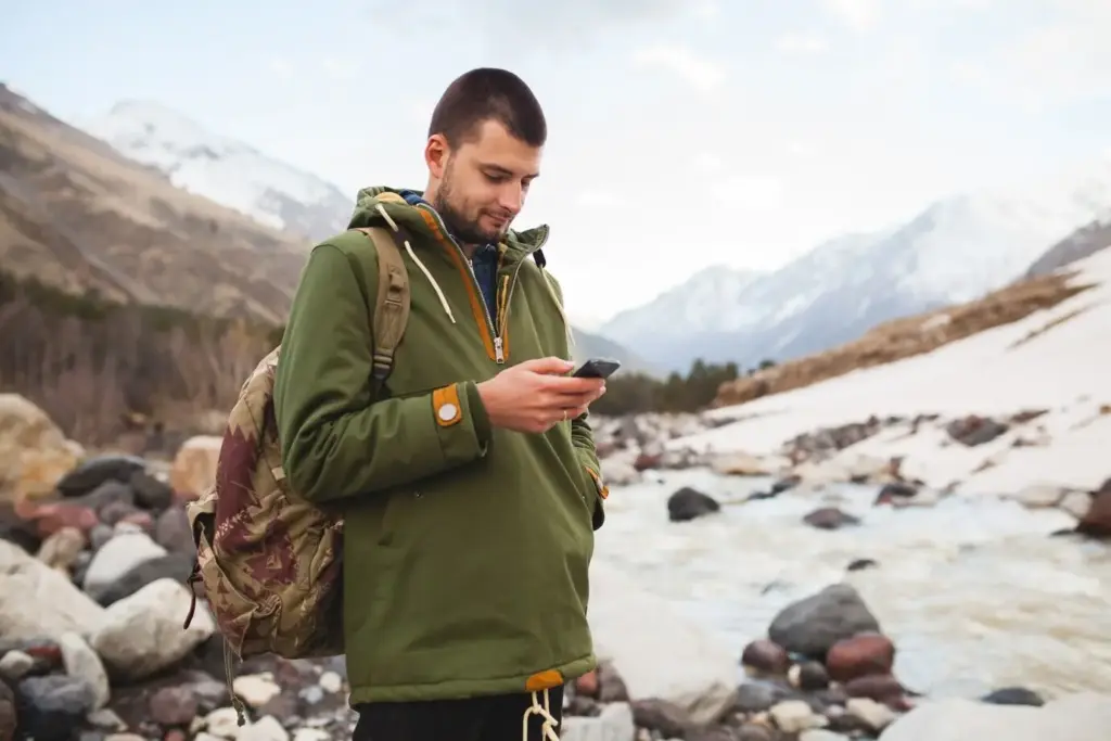
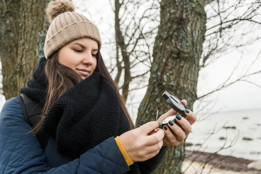
Navigation and Communication That Actually Works
Combine offline maps, printed backups, and a simple compass with a satellite messenger or PLB that fits your group and budget. Discuss check-in cadence before leaving service. Mark bail-out options and storm shelters on paper, not just screens. Use platform tools to preload hazards and camps. When you return, confirm what was accurate and what changed, helping the next party trust the data and maintain redundancy rather than betting everything on batteries.
Safety for Mixed Hike-and-Paddle Journeys
On shoulder-season lakes, wear PFDs without negotiation and pack dry insulation in true waterproofing. For portages, grippy footwear prevents slips on wet roots; trekking poles double as balance aids at landings. Practice swiftwater scouting and low-commitment lining techniques. Record where winds build clapotis and where morning calms linger. Share these micro-lessons publicly so others anticipate challenges calmly. Real safety culture is unglamorous, thorough, and generous, turning intimidating edges into confident, joyful travel days.
Buying Local and Paying Fairly
Choose independent outfitters, co-ops, and guides who mentor more than market. Fair pay respects years of accumulated knowledge and the unseen labor of scouting, maintaining, and communicating. When a guide suggests a stewardship project or a local fundraiser, say yes and participate. List these opportunities in your trip notes and encourage readers to follow. This is how overlooked routes stay open, resilient, and welcoming—because communities feel supported rather than extracted for content or convenience.
All Rights Reserved.